
The scale, stated carefully
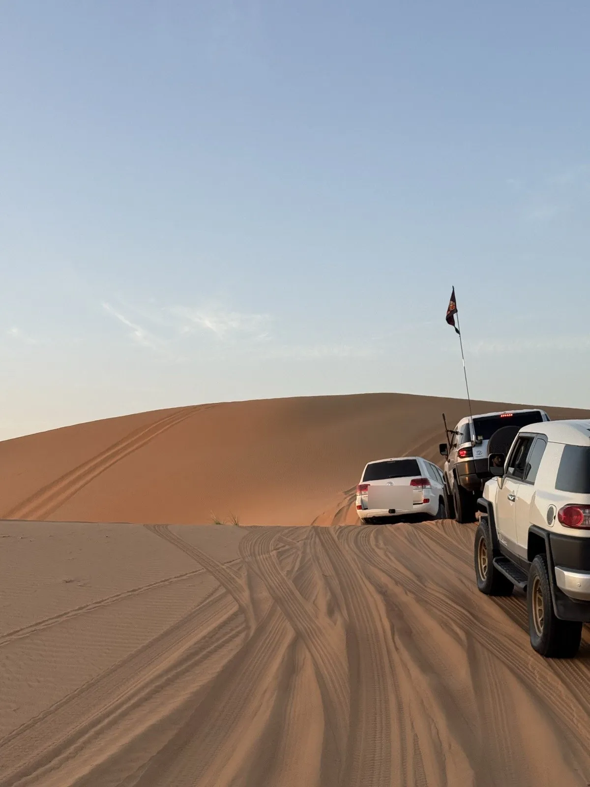
The Rub’ al Khali — “the Empty Quarter” — is the largest contiguous sand desert on Earth, spread across Saudi Arabia, Oman, the UAE and Yemen. The European Space Agency, NASA Earth Observatory and Guinness World Records all use that superlative, and it survives scrutiny for a specific reason: the Sahara is a far bigger desert, but its sand is broken into separate dune seas. This is one piece.
The area is genuinely unsettled, and honestly so. Estimates run from about 550,000 to 660,000 km² — not because anyone is careless, but because this desert runs into neighbouring sand seas with no natural edge to measure to. The 650,000 km² you see repeated everywhere sits in the middle of that spread. For a number you can feel: mainland France is about 551,700 km², so the Empty Quarter is larger on any of these figures.
On extent, the US Geological Survey puts it at roughly 1,200 to 1,500 km east to west, from the UAE coast to the foothills of the Yemen mountains. If you have seen “1,000 by 500 km” — we printed it here for about an hour on publication day — that is tertiary sources quoting each other, and it contradicts the surveyed figure.
And the dune heights, carefully. Large dunes are commonly put at 50 to 250 m above the surrounding ground, with the biggest cited at 250–300 m. Anything dramatically larger is usually a confusion worth knowing about: NASA Earth Observatory notes crests reaching 1,200 m above sea level near the Yemen border — that is ground elevation, not dune height, and it is where most of the internet’s giant-dune claims come from.
The climate matches the scale. Rain here rarely exceeds 35 mm a year, and two or three years can pass with none at all; summer highs sit around 50 °C, with daytime peaks reported to 55 °C. That is the arithmetic behind every rule on this page.
The UAE’s window onto it is Liwa — a crescent of oasis villages on the northern rim, where the sand stops being a weekend and starts being a country. Everything south of that crescent is the desert itself.
The story the internet keeps putting in the wrong desert
Here is where we earn the page.
“Green Arabia” is real: during wetter phases the peninsula held lakes and grasslands, and researchers have dated lakebeds containing stone tools alongside fossils of hippopotamus and wild cattle. Six successive lakebeds, spanning roughly 400,000 to 55,000 years ago, published in Nature in 2021.
Those lakebeds are at Khall Amayshan 4 and Jubbah — in the Nefud desert of northern Arabia. Not the Rub’ al Khali.
You will find the discovery relocated to the Empty Quarter in article after article, because “hippos in the Empty Quarter” is the better headline. It is also wrong, and it was in the draft of this very page until we checked it. Green Arabia was peninsula-wide; the hippo fossils have an address, and it is 800-odd kilometres north of here.
Ubar: a real site, a legend without an address
Satellite and radar imagery led a 1992 expedition to ruins at Shisr in Oman, announced at the time as Ubar — the “Atlantis of the Sands”. The imagery work was genuine and the site is real.
What changed is the interpretation. Archaeologists now read Shisr as a fortified frankincense-caravan waystation, and Juris Zarins, one of the archaeologists involved, later argued that “Ubar” referred to a region or a people rather than a single lost city. UNESCO treats the site as part of its Land of Frankincense property — inscribed in 2000, with four components: Shisr, the frankincense groves of Wadi Dawkah, and the ports of Khor Rori and Al-Baleed, all of them in Dhofar at the desert’s southern edge. Our Salalah guide covers that end of the Rub’ al Khali, where the monsoon turns the mountains green for three months a year. “Pinpointed the lost city” is a sentence that has aged badly; “found a remarkable caravan station” has not.
The crossings
Bedouin crossed this desert for centuries. Every “first crossing” below means first recorded by an outsider — worth saying plainly, because the alternative quietly erases the people who already knew the way.
- Bertram Thomas, 1930-31 — south to north, Dhofar to Doha, guided by Sheikh Salih bin Kalut. The first recorded crossing.
- St John Philby, January 1932 — from Hufuf, the first European to cross east to west.
- Wilfred Thesiger, 1946-47 and 1947-48 — two crossings with his Bedouin companions bin Kabina and bin Ghabaisha. His account, Arabian Sands, came later: published in 1959.
Thesiger’s verdict on the place is the one that still gets quoted, and the reason people who finish a Liwa crossing talk about it for the rest of their lives.
The Quarter today
The edges have changed. Saudi Arabia’s Shaybah field sits on the desert’s northern edge, on stream since 1998 and now producing around a million barrels a day, reached by a purpose-built desert road of roughly 390 km across the dunes. (You will see 400 km quoted; the better-supported figure is 386.)
The interior has not changed. It remains one of the least-visited places on Earth — while at Liwa’s rim, festivals and hill climbs run where the megadunes meet tarmac, an hour’s drive and a whole category away from genuine emptiness.
Why drivers treat it as the summit
Scale is the entire exam. Distances between help are enormous, fuel and water arithmetic is unforgiving, navigation stops being a convenience, and dune size turns small errors into long days. None of that is technique — it is preparation, convoy discipline and honest self-assessment.
Which is why the right order matters: the northern dune fields first, many times, then Sweihan overnight, then Liwa with people who have done it. The Empty Quarter is not a harder Big Red. It is a different environment that happens to be made of the same material.
The honest footer
Figures here are as published by the sources named and checked in August 2026: the superlative from ESA, NASA Earth Observatory and Guinness, the east-west extent from the US Geological Survey, the Green Arabia dating from the 2021 Nature paper, the crossings from archival and museum records.
This page was corrected on the day it went up. It first carried “roughly 650,000 km²” as a flat figure, “1,000 × 500 km” dimensions, and “around 250 m” dunes. A second verification pass found that the area is a contested range rather than a number, that the neat dimensions are tertiary sources echoing each other against a surveyed east-west extent nearly half as long again, and that dune heights belong in a range with the sea-level confusion explained. We changed it and left this note, because a page about getting the Empty Quarter right should show when it got something wrong. Nothing on this page asserts that any part of this desert is safe to drive: it is the most remote ground in the region, and the people who cross it well are the ones who treat every number on this page as a reason to prepare harder.