
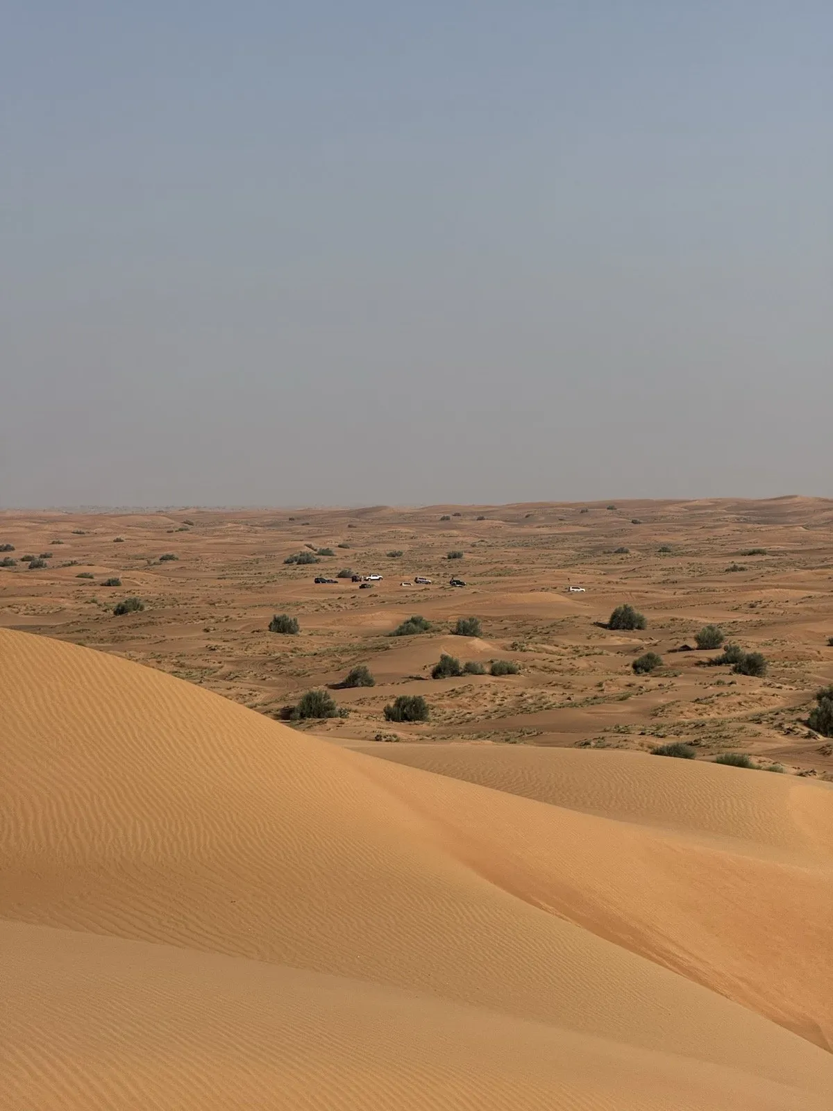
One number runs the whole landscape
Dry sand holds a slope of about 32 to 34 degrees and no steeper. Every dune shape below is that fact, plus a wind direction.
It is worth understanding the cycle rather than the number, because the cycle is what you drive. Wind carries grains up a dune’s gentle windward slope and drops them at the crest. The lee slope steepens until it reaches roughly 34° — the point where it lets go — the surface avalanches, and it settles back at about 32°. Then it starts steepening again.
That cycling face is the slip face, and everything about it matters at the wheel: it points downwind, it is where the dune feeds itself forward, and it is made of freshly collapsed sand with no strength in it. The loosest, least supportive surface on any dune is its steep side.
The eight shapes
Barchan — the crescent
Lone crescent dunes with horns pointing downwind, formed where sand is scarce and the wind blows mostly one way.
How it drives: a gentle back and a sudden steep front — the classic blind-crest trap, where the ground you cannot see is also the softest. Approach square and slow. The horns are the low, easy way around.
How fast it moves: published rates run from about 1 to 100 metres a year, and size decides where you land in that range — a 3-metre barchan typically moves 15–60 m/yr, a 15-metre one 4–15 m/yr. Speed rises with how much sand the wind is carrying and falls off inversely with dune height. Small dunes race, big ones crawl, and a field is never uniformly mobile.
Linear (seif) — the ridge
Long parallel ridges, classically formed where the wind swings seasonally between two directions more than about 90° apart, so the ridge aligns with the net sand transport and takes on a sinuous, sword-like crest. (That is the textbook recipe, not the only one — linear dunes also form other ways.) The USGS notes they can exceed 160 km in length; ridges commonly run tens of metres high, with the largest sand seas hosting some over 100 m.
How it drives: the corridors between ridges are natural highways. Crossing a ridge is the work. Pick your crossing point deliberately rather than fighting the grain of the land.
Star dune — the pyramid
Three or more arms radiating from a central peak, each arm with its own slip face, built where wind comes from several directions across the year. With no consistent lee side, the sand piles upward instead of travelling.
How it drives: three-dimensional route-finding. Arms hide bowls, crests curve back on themselves, and reading the shape matters more than power. They also barely move — Lala Lallia in Morocco averages 0.55 m/yr — so a star dune is a landmark you can actually navigate by.
Slip face — the avalanche side
Covered above, and worth its own line because it is where people get hurt: straight down, never across. A side slope on freshly-avalanched sand is the standard rollover setup.
Bowl — the amphitheatre
Wind-scoured hollows ringed by dune walls, from car-sized dishes to arenas between megadunes. Sand flows down into them; momentum is the only thing that flows out.
How it drives: the desert’s best playground and a reliable trap. Know your exit line before you drop in — the walls are always steeper and softer than they look from the rim.
Sabkha — the surface that lies
A flat, salt-crusted plain, common along the UAE coast and on inland depression floors. Groundwater sits just below the surface; evaporation wicks it up and leaves a crust of halite, gypsum and anhydrite over loose, saturated sediment.
How it drives: ideally, it doesn’t. The crust is often firm enough to walk on — which is precisely the trap — while a vehicle’s weight punches through into brine-soaked mud that fights every recovery and corrodes what it touches. Polygon cracking, salt sparkle and dark damp patches mean route around.
Gravel plain and gatch track
Flat, stone-littered ground filling the gaps between sand seas and mountains, crossed by graded tracks of compacted local material.
How it drives: a relief after dunes, with two catches. Sharp stones bite tyres still at dune pressures — the classic sidewall cut — and corrugations shake fittings loose. Re-inflate part-way, or accept the speed that floats the washboard.
Wadi — the dry river
Gravel-bed channels draining the Hajar, dry almost all year, mixing firm gravel, boulder gardens and soft pockets.
How it drives: easy cruising with sudden texture changes — and one absolute rule that has nothing to do with driving technique. A wadi is a riverbed on standby, and it can run from rain you never see. The wadi rules are not optional, and Hatta is where most UAE drivers meet them.
The one-glance table
| Landform | Built by | The catch |
|---|---|---|
| Barchan | One-way wind, scarce sand | Blind crest, steep soft far side |
| Linear / seif | Two wind directions | Crossing the ridge |
| Star dune | Many wind directions | Hidden bowls, 3D route-finding |
| Slip face | Gravity, at 32–34° | Loosest sand on the dune — straight down only |
| Bowl | Wind scour | Exit line before entry |
| Sabkha | Salt + shallow water table | Crust over mud — avoid |
| Gravel / gatch | Erosion debris | Punctures, corrugations |
| Wadi | Flash floods | It is still a river |
The honest footer
Figures here are from published sources checked in August 2026: the angle-of-repose cycle and dune-migration relationships from the aeolian-physics literature, linear-dune lengths from the USGS, star-dune movement from the 2024 dating study of Lala Lallia, and the sabkha description from a national geological survey. Where the science is unsettled — whether star dunes hold the outright height record — we say so rather than pick a side. Nothing here asserts that any landform is safe to drive: this page tells you what the ground is, and the ground still changes between the day it was measured and the day you arrive.